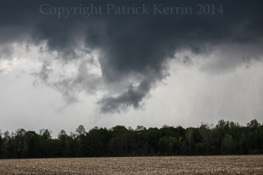
 This post covers a couple of events!
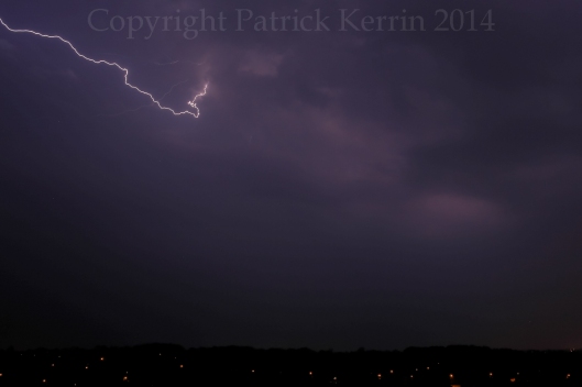
The first was taken just after midnight on 20 May 2014, when week cell passed over London Ontario. While there was a lot of intra-cloud lightning, I saw no cloud to ground strokes.
I did, though, capture one half of a nice anvil crawler:
During most of the day of the 21st I had attention focused on forecasting (for fun) the events that would unfold later in the day on the High Plains near Denver, Colorado.
After the convection the previous night, I had considered the prospects for the following day in southern Ontario rather diminished ,as the dewpoints had dropped into the low 50s. After turning my view away from Colorado forecasting, I noticed that the dewpoints in London and the west were 64 Fahrenheit (18 Celsius)! This immediately piqued my interest, and I had noticed a discrete cell form near Sarnia, Ontario. With sufficient instability and deep layer shear in place over SW Ontario, I knew it was time to get ready to chase!
I gathered my equipment and headed out, first encountering traffic difficulties in town due to construction (what else is new!). After some reflection, it became apparent that I would have just enough time to get down to the 401 to the southwest ,with an intercept target near West Lorne, Ontario. There were no problems with traffic on the 401, and it was a quick and easy ride(basally a freeway just like a US Interstate).
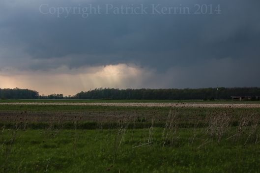
The cell that had formed near Sarnia was moving to the right of the mean unidirectional flow, heading SSE. I was able to get through a little anvil precip around the to the southwest side of the cell where, I got a good view of the updraft base at a carpool parking lot just north of the 401 at West Lorne:
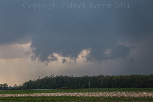
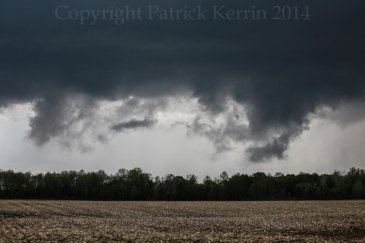
A few minutes after my arrival stud started rising to the cloud base and formed a wall cloud (non-rotating from my vantage point):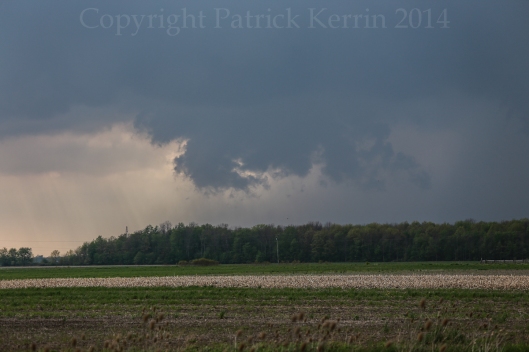
This was a day with many scuddy scenes!
The evolution of scuddy wall cloud to outflow dominant shelf-like feature was going to be played out a number of times during this afternoon and early evening, as there would be a repeaded quick transition to outflow dominance.
I still prefer to use a paper map, and I have a very good one for Ontario. This allowed me to quickly choose a path that took me over the 401 (which can at times be a bit of a barrier in terms of north-south manoeuvring), and I ended up near Rodney, Ontario.
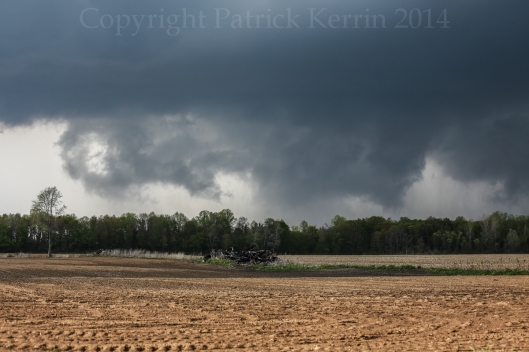
After hitting just south of the town I took a small road about a mile to the east, where new wall cloud was starting to regenerate. Even though these cells were repeatedly becoming outflow dominant, the inflow repeatedly fought back which again would be followed by a transition to outflow dominance.
The cloud-based convergence near Rodney was the best I witnessed all day!
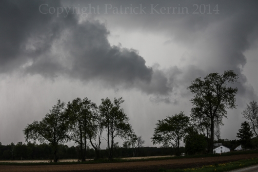
This was the only time I noted a significant inflow feature, namely this tail cloud: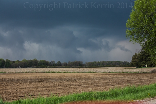
There was no rotation visible from my location: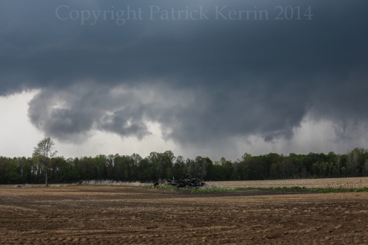
The rising scud did take on “interesting” forms:
I learned a long time ago that, in the vast majority of cases (read almost all!) tornadoes are “clear cut” and unambiguous. These were some impressive scenes none-the-less!
The inflow feature persisted:
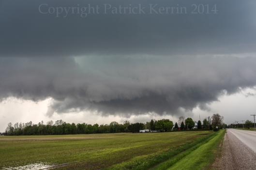
This updraft base also quickly became outflow dominant. I moved further SE of town, and had this photogenic scene (and like a few other scenes this day, it was a little more impressive just before I got pulled over in a safe spot).
This is a shelf cloud feature, with cool outflow undercutting the inflow (with some interesting striated structure to the right). At first glance, it shares some visual similarity with the inflow tails above, though it suggests the complete opposite of the tail could when it come to the chances for tornadogenesis (tail could favourable, shelf cloud unfavourable):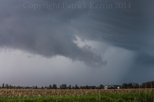
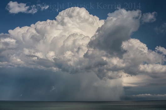
Found a nice spot on the north shore of Lake Erie to view the cell I had been chasing (complete with hail shaft). Had a chaser convergence (no longer rare in Ontario!) and met, Spencer Sills, David Chapman (chasing with his father), Harry Schutt, and Scott Burlovich. Very nice to meet you all!
Took off to intercept the next cell which was at that point near Petrolia, Ontario. I intercepted N of Newbury, Ontario, and had anther Ontario chaser convergence, this time meeting Lee Mann, Nice to meet you too Lee!
Another wall could formed and looked impressive, even if it too was starting to show signs of transitioning again to outflow dominance:
Quickly took on a shelf-like structure – here is a stitched pano (click for larger view):
The precip core pushed SW and I retreated, briefly getting experiencing rain and hail up to about an inch-and-a-half (not measured).
I continued S on Clachan Rd. and noticed the updraft base started looking promising again south of Longwoods Rd. After passing though the Thames River valley I as able to get this image – which, again, was not quite as good as it looked a few minutes earlier. The progression to outflow dominance followed as this cell headed off to Lake Erie.
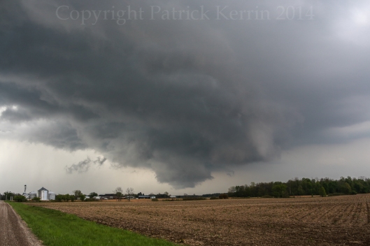 The region W and SW of London, Ontario is excellent chase country, very flat and well cultivated, with only a few clumps of forest and one major river valleys to deal with. This was a fun chase that might have had a very different outcome had dewpoints been a few degrees higher!

